
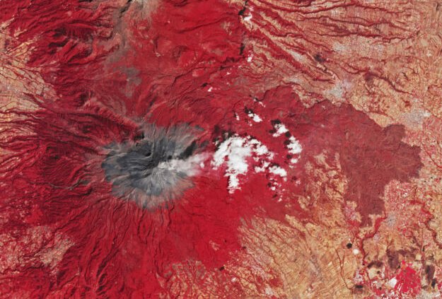
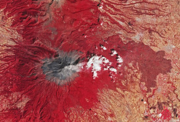
Popocatépetl, a volcano near Mexico City, steams away in this false-color satellite image (making vegetation appear red). (credit: NASA EO)
Just as we can often spot the beginnings of an illness from a number of signs, there are symptoms of volcanic activity that can indicate a growing likelihood of eruption. Monitoring them can involve detecting surface changes and small earthquakes caused by the movement of magma inside a volcano, or measuring changes in gases emitted from vents. Signs like these are used to raise alerts and trigger evacuations, and they have saved lives. But they aren’t always perfect.
Japan’s Mount Ontake erupted in 2014 without warning, for example, killing more than 60 people. So additional methods for detecting volcanic activity are always welcome, especially if they involve subtler signs that could be overlooked. A new study from a Jet Propulsion Laboratory group led by Társilo Girona highlights the possibility that presently available satellite data could provide an entirely new way to warn of eruptions.
Heat is obviously a relevant parameter for volcanic activity, but it can be quite variable at the individual spots where you might set up a thermometer. If we could instead measure all the heat coming out of a volcano, it would be quite meaningful, since the majority of volcanic energy gets released as heat.
Read 5 remaining paragraphs | Comments